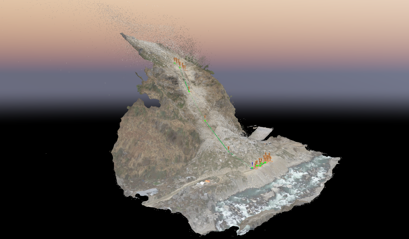
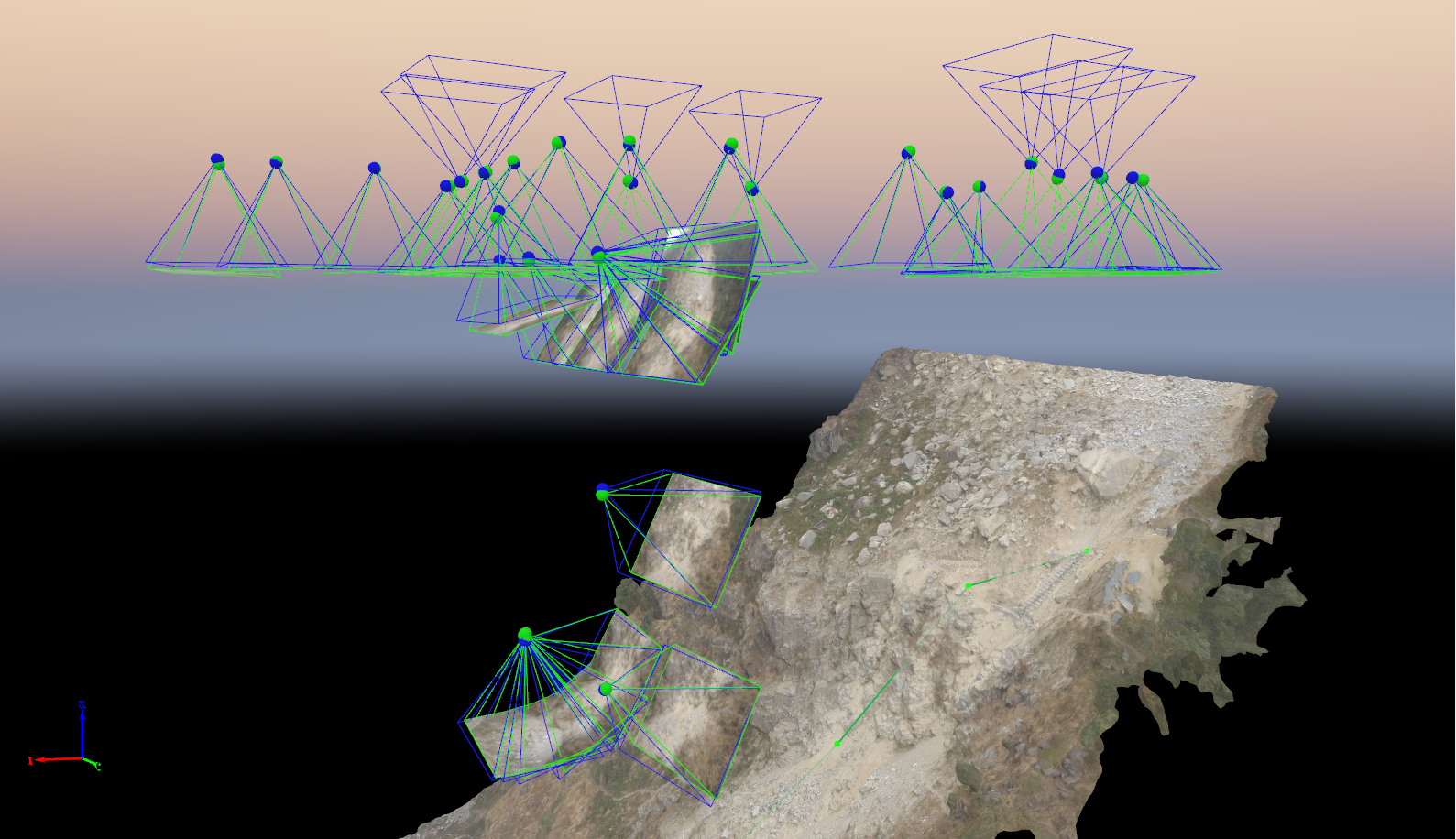
Drone-Assisted Mapping
Image manipulation
The drones are awesome! Everyone knows that. There is a myriad of possibilies for any device once it gets 3D motion. We hardly know all the things we can do through a drone. Food/medicine delivery, surveillance, mapping, etc are some of the things it can do with extraordinary convenience and ease.
Mapping of a geographical region is often an arduous task. That's why we offered our services for the mapping of terrain in Dandagaon, Rasuwa for a construction project. What's cool about this is that image capturing is the only thing that needs to be done on-site. The hard task is stitching and terrain rendering through proprietary software. But that's our job.